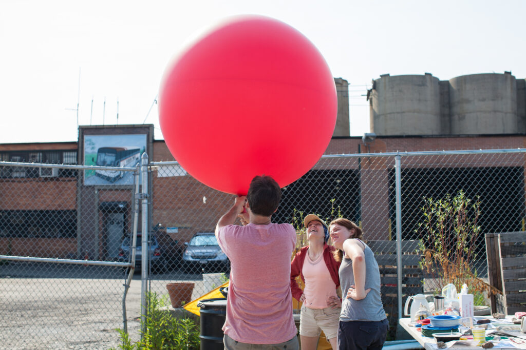
How gerrymandered is a district?

Michal Migurski is working on a project for measuring legislative gerrymandering. Redistricting shenanigans can be detected from current, historical, and proposed legislative districts.

PlanScore is doing two things to address partisan gerrymandering.

We are creating score pages for district plans to provide instant, real-time analysis of a plan’s fairness. Each district plan will be evaluated for its population, demographic, partisan, and geometric character in a single place, with backing methodology and data provided so you can understand the number. We’ll publish historical scores back to the 1970s for context, current scores of proposed plans for voters and journalists, and dynamic scores of new plans for legislative staff who are designing tomorrow’s plans.

We are also assembling a collection of underlying electoral data from sources like Open Elections, elections-geodata, and other parallel efforts. Our goal is to provide valid scores for new plans in any state. As we await the outcomes of gerrymandering challenges in Wisconsin and North Carolina, voters and legislative staff in other states are wondering how to apply new ideas to their own plans. In 2020, everyone will have to redraw their maps. PlanScore will be a one-stop shop for district plan analysis.

Link

The past is our burden

Aaron Cope on Who’s On First (which I also work on) and the responsibility that comes with naming things.

We have been blind to the fact that the First Nations were already here living on these lands long before the European settlers arrived. It is important to recognize that we have not been passive in our blindness but brutally deliberate. First out of malice and then later out of negligence and more recently out of shame.

Link

The world is weird and wonderful!

A tile mural at the 36th Street subway station in Sunset Park.

I wrote a post over on the Mapzen blog that I think came out nicely.

The territory means different things to different people. Depending on your perspective, the kinds of data that are captured about places may be missing, insufficient, or downright hostile. Who’s On First is opinionated_—like all datasets, no collection is truly unbiased—but we hope to be aware of when we’re asserting our own opinions about places and create a framework where a polyglot of _place-feels will be welcome.

The multifaceted maps we make simply reflect the weird and wonderful territory they represent.

I’m going to be adapting this as a talk at csv,conf. If you’ll be in Portland May 3, come out and say hello. (Bring your CSVs!)

Grassroots mapping at the Gowanus