-
Two bonfires

-
Grid Corrections
Grid Corrections shows, as Curt Meine puts it, “places where theory and reality meet.” Geoff Manaugh, writing for Travel + Leisure:
De Ruijter soon learned that these kinks and deviations were more than local design quirks. They are grid corrections, as he refers to them in a new photographic project: places where North American roads deviate from their otherwise logical grid lines in order to account for the curvature of the Earth. You could drive out there your whole life, de Ruijter realized, and not realize that certain stop signs and intersections exist not because of eccentric real estate deals, but because they are mathematical devices used to help planners wrap a rectilinear planning scheme onto the surface of a spherical planet. In order to avoid large-scale distortion, the Jeffersonian grid—shorthand for the founding father’s 18th-century geometric vision of six-square-mile township parcels, intended to guarantee equal and democratic land-distribution nationwide—is occasionally forced to go askew.
-
Coyote Walk Day Three
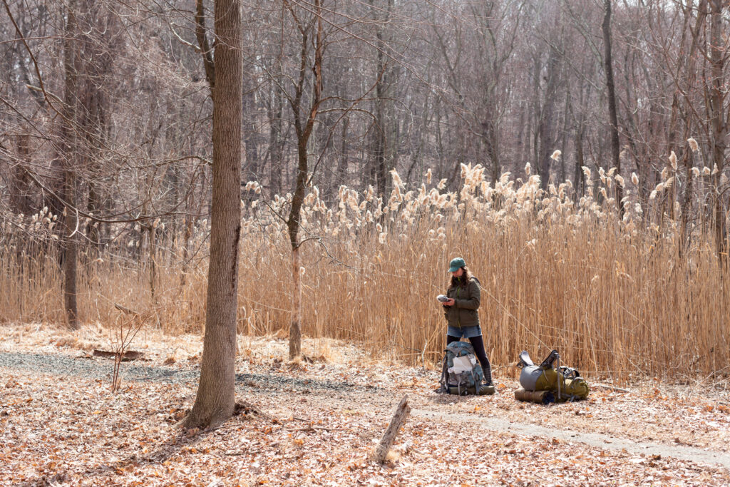
The final day of a 45 mile walk (starting in Central Park), where we walked from The Irvington Woods to Philipse Manor.
-
Coyote Walk Day Two

The second day of a 45 mile walk starting Mount Saint Mary College and ending at The Irvington Woods.
-
Coyote Walk Day One

The first day of a 45 mile walk starting from Central Park and ending at Mount Saint Mary College.
-
Neil Freeman interviewed about his Electoral College Reform map
You may have seen Neil’s map before, where each of the US’s 50 states are redrawn to balance for population. It’s nice to see his project’s motivating ideas laid out like they are in this Paris Review interview:
I think that the biggest cultural change would be with the profusion of city-states. Many states overrepresent rural areas when it comes to divvying up funding for infrastructure projects and other spending. The alignment of metro areas and states would mean that decision-making power in land use and transportation would shift away from rural areas, which would probably mean less sprawl and more livable cities.
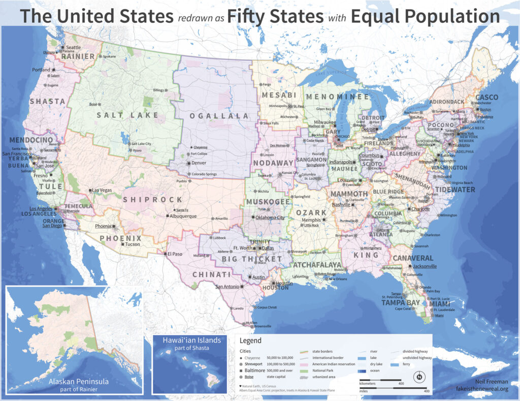
See also: Neil’s 50 states and 50 metros
The fifty largest metro areas, disaggregated from their states. Each has been scaled and sorted according to population.
-
Occupy.here at SXSW 2013

Here’s my presentation slide deck from my panel at SXSW this year, “And What of Liberty? Networks & Freedom”.
-
First sunset of 2013

-
Financial Aid

-
Free Cooper Union
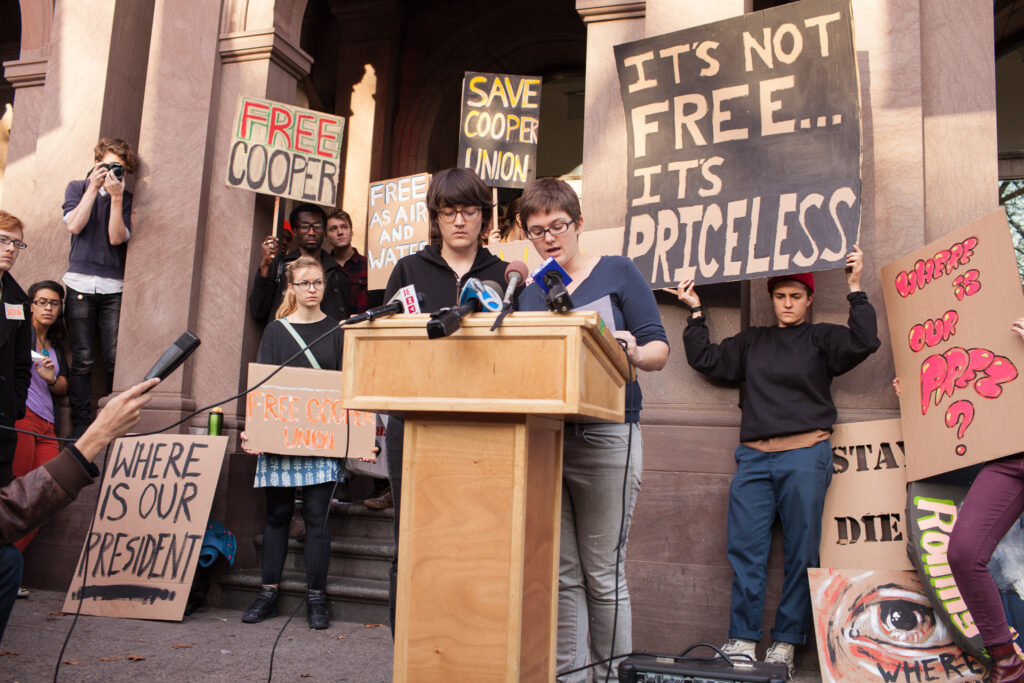
Photos from the Free Cooper Union press conference earlier this week.